Bright Angel Point Trail is the path we walked on the morning of the second day. It leads out (way out) onto a mildly unnerving point where you can see Bright Angel Canyon--and see where the fault line breaks the layers on the south side. I might not have noticed it without the signs telling me--but once you see it, it's obvious.
This is a panorama shot stitched together from several pictures, and pretty big--almost 10 MB. (Remember that if you click on the picture, and your browser shows you a plus sign in a circle when you mouse over the picture, you can click the picture, and blow it up full size, and get a lot more detail. You can also use the scroll bars in the browser to move around the picture.)
Click to enlarge
My wife had to just keep staring straight ahead on some stretches of this trail, and I confess, the steep slopes--without rails of any sort on the sides--were a bit scary, especially when the winds started to blow. It's a long ways down, and at least a 70 degree slope.
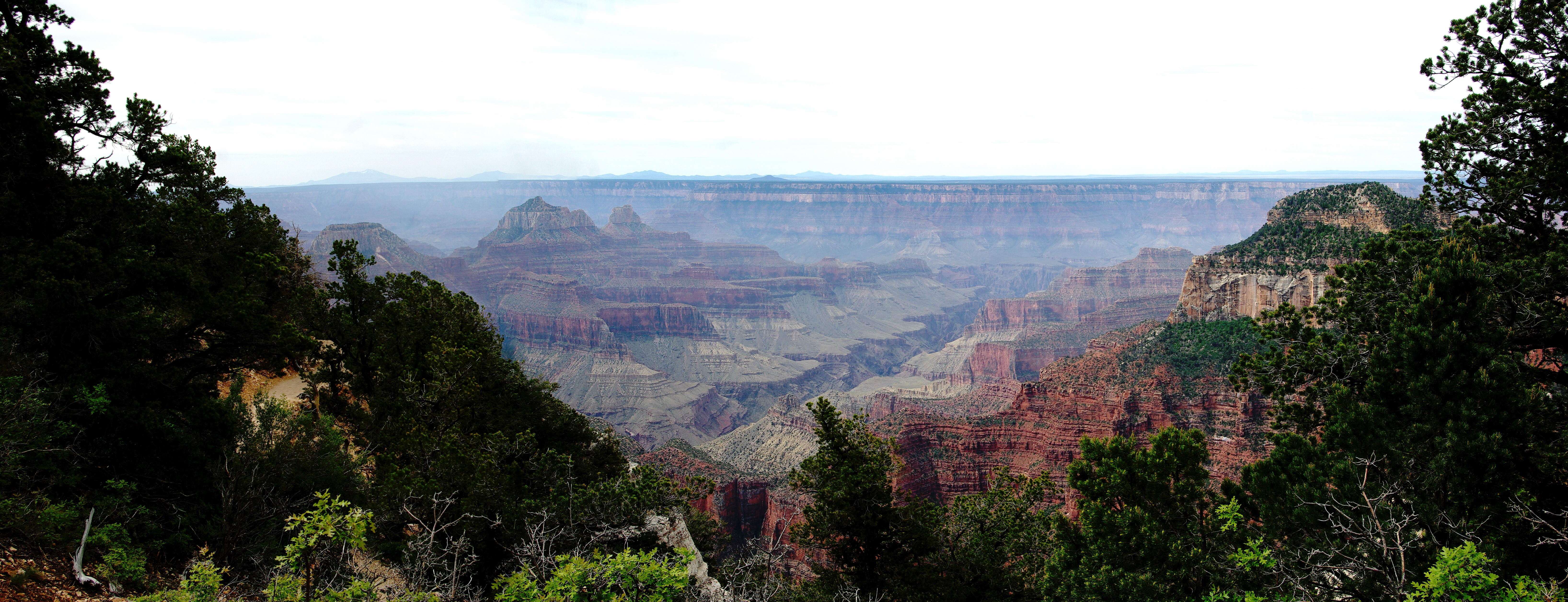
There's another trail (name now escapes me) that cuts roughly north to south across the Grand Canyon, and we walked along the rim for several miles--which at more than 8300 feet of elevation, I could definitely feel.
Here's a panorama I took as walked along that rim. This is about 6 MB.

Click to enlarge
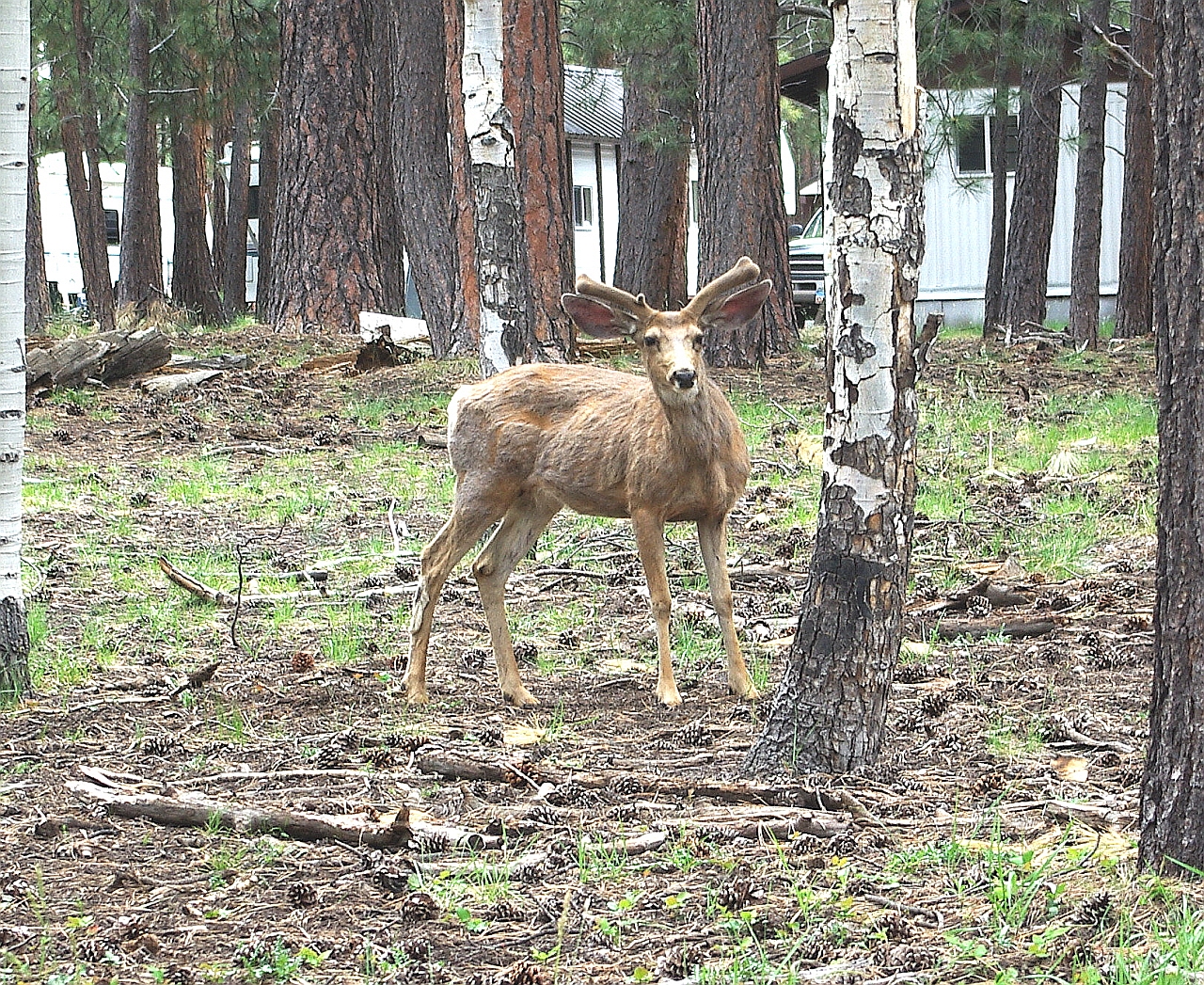
Eventually, we ran into a ramshackle collection of trailers and motor homes where the employees live during the tourist season. Some of the inhabitants look like they aren't eating very nutritious food.
Click to enlarge
No comments:
Post a Comment